Amorgos Wandelkaart 10.27 Anavasi
Beschrijving
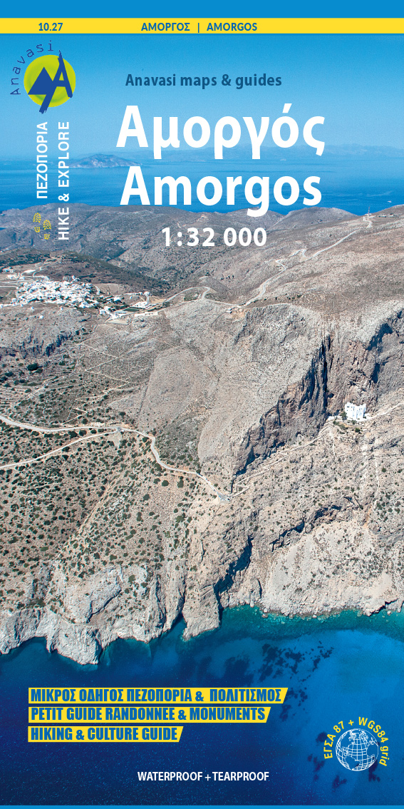
Hiking Map of Amorgos at a 1:32 000 scale. From above, Amorgos looks like a skeletal form, but up close the landscape offers enchanting variations: archaeological sites of early European societies, Hellenistic towers, a monastery on the cliff, crops on terraces, white houses and small churches that bless this unexpected fertility. This map contains suggestions for hiking routes, the updated road network, churches, beaches, settlements and many other points of interest. On the reverse side, you will find a small Hiking and Culture guide in 3 languages (Greek, English and French), which includes a short text about the history and culture of the island, a presentation of the proposed hiking routes, a map of Chora and rich photographic material. Printed on waterproof & tear resistant polyart paper.